3D Imaging
(parts adapted from http://www.icaen.uiowa.edu)Three dimensional images may be acquired directly either by passive or active techniques. Passive techniques imply that the vision system works only on naturally occurring images produced by reflected light from a ``natural'' or ``man-made'' source, e.g. the sun or a light bulb. They usually employ multiple images, the two most obvious examples are stereo vision using two or more stationary cameras and depth from motion using an image sequence, in which either the camera, the object or both move. Three-dimensional computer vision systems which employ multiple 2D image sensors have identical hardware to 2D systems, but invariably entail a complex problem of establishing correspondence of pixels or features between images, which makes applied visual processing that much more difficult.
Active techniques use a projected signal which is scanned over the scene of interest; the most common methods are ultrasound (e.g. foetal images) and laser projection. These fit into two principal categories i.e. time-of-flight and triangulation. These are the most common and reliable methods of acquiring depth images, i.e. images which represent explicitly the geometric structure of a scene (as opposed to inference of 3D structure from 2D images).
Of course, we are all able to look at a photograph and infer considerable information about the relative depth and orientation of objects ( although we can be fooled) 3D data acquisition from a single intensity image includes shape-from-shading , shape-from-texture and inferred shape from contour.
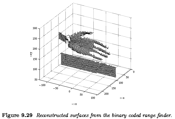
Here are some examples of Active 3D sensor data.
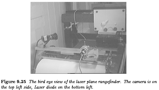
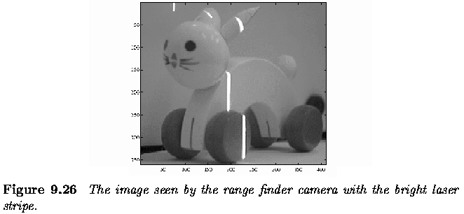
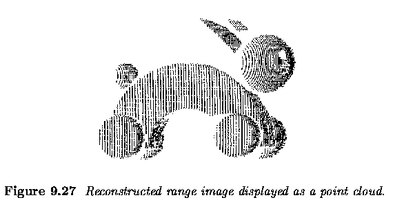
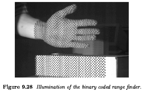
The Depth Map
The simplest and most convenient way of representing and storing the depth measurements taken from a scene is a depth map.A depth map is a two-dimensional array where the x and y distance information corresponds to the rows and columns of the array as in an ordinary image, and the corresponding depth readings (z values) are stored in the array's elements (pixels).
Depth map is like a grey scale image except the z information (float - 32
bytes) replaces the intensity information. 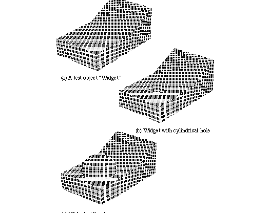
Figure: Artificial Depth
Map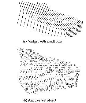
Figure: Real Depth
Map, Notice the noise and the fact there is less data
points
